
Cathedral City Street Directory Walkthrough
A street-level search works best as a chain. The address identifies a parcel, the parcel supplies an APN, the APN helps reconcile a deed, and the named parties point toward earlier instruments. Map layers show land and boundaries, not a household. An owner roll is different from proof of residence, and a permit applicant is different from proof of occupancy. The Cathedral City street directory is strongest when the result keeps those roles visible.
Use one parcel at a time. This avoids merging two homes with similar numbers, crossing a city boundary, or treating a condominium common parcel as a list of units. Save the source URL and access date with each note.
- Run the exact street number and street name through Riverside County Property Search and save the APN, situs, and legal-description clues.
- Open Map My County, search the address or APN, turn on parcel and jurisdiction layers, and click the target polygon.
- List the adjacent APNs and use the assessor office for owner identification because the public web result suppresses owner names.
- Search the current party as grantee in the recorder index, then match the deed's legal description and document date.
- Use permits, code files, authorized records, and historical reverse directories only for the narrower fact each can support.
Note: A street directory search should record an APN and source date before it records a person’s name.
Cathedral City Street Records: Address First
Riverside County Property Search accepts an address or APN. Address mode uses the street number and street name, while parcel mode uses the APN format supplied by the county. The result can show the parcel identifier, situs, assessment and location facts, legal or map references, and tax geography. It does not offer an online owner-name search. The county makes the January 1 owner roll available at assessor offices under Revenue and Taxation Code section 408, so a remote address lookup and a counter inspection are not interchangeable.
| Search type | Address or parcel mode |
|---|---|
| Address input | Street number and street name text, without a full mailing line |
| APN input | Parcel number text; Riverside APNs commonly appear as nine digits with display separators |
| Controls | Search and Clear or Reset |
| Online result | APN, situs, values, parcel facts, and map or tax geography |
| Not an online field | Owner name, ZIP-wide browse, or whole-street household list |
Use the Riverside assessor and recorder search rules alongside the property screen when an address is the known fact:
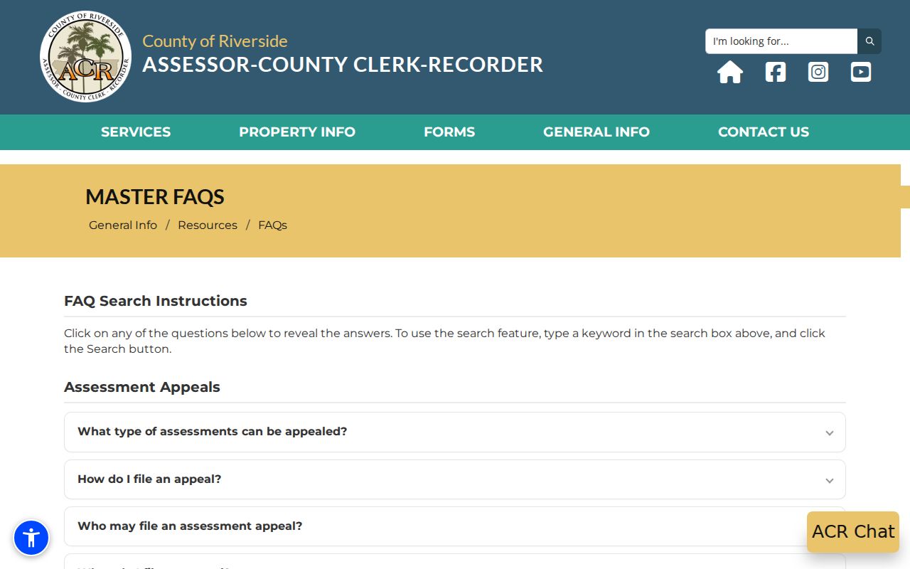
The assessor search image illustrates the first bridge in a by-address workflow. A situs is the physical assessed location. A mailing address may belong to a trust, agent, post-office box, or different property, and none of those details alone establish who lives at the site.
Cathedral City Street Directory Parcel Map
Map My County is the visual step in the Cathedral City street directory. Search or geolocate the address or APN, zoom to the parcel layer, and turn on the jurisdiction or other relevant boundary layers. Use identify or select on the target polygon, then click each neighboring polygon separately. Pan, zoom, legend, basemap, measure, print, and export tools can change as the hosted viewer changes, so note the date and only claim layers that were visible.
The map can show parcel shape, adjacency, street alignment, and a bridge to assessor or tax geography. It cannot display every household, and a map label is not a named resident. Multifamily, condominium, mobile-home, common-area, public, and split parcels need extra care. Use the measure tool for a distance question rather than inventing a radius around the address.
Open Riverside Map My County to inspect the active layers:
The viewer makes an address legible as land first. Carry each APN into the assessor office, recorder index, permit search, or tax portal only after confirming that the polygon is the correct one.
Cathedral City Street Address Labels
Situs, mailing address, and legal description describe related but different things. Situs identifies the assessed physical location. Mailing identifies where tax or owner correspondence is sent. Legal description identifies the land through tract, lot, block, parcel map, section-township-range, or metes-and-bounds language. Old deeds often depend on the legal description even when a street name or number has changed.
An APN is an assessment identifier, not a postal delivery point or a person. A lot-line adjustment, split, merge, condominium record, or common parcel can change the APN while a street address remains familiar. A return address on a deed image may be historical correspondence, not a current residence. These distinctions keep a by-address search from becoming an unsupported household claim.
- Parcel
- A mapped assessment unit identified by an APN and legal or map description.
- Situs address
- The physical site used for assessment or location, not proof of occupancy.
- Plat
- A recorded map that lays out lots, blocks, streets, or easements for a tract.
- Criss-cross directory
- A historical address-order directory that may show a listed subscriber or occupant for an edition.
Note: When an old number does not match a modern number, compare the tract, lot, block, road name, and APN history before abandoning the lead.
Cathedral City Street Record Coverage
No single record set makes a complete Cathedral City street directory. The useful sets interlock. GIS supplies the physical roster. The assessor supplies parcel facts and office-only owner access. The recorder supplies party and document history. Permits and code cases add municipal activity, while historical directories can add listed addresses from specific editions.
| Record Set | Keeper | What It Shows | Access |
|---|---|---|---|
| Property assessment | Riverside County ACR | APN, situs, values, parcel facts; owner at office | Address/APN web search; counter inspection |
| Parcel GIS | Riverside County GIS | Lots, adjacency, boundaries, visible map layers | Free interactive viewer |
| Deeds and liens | Riverside County Recorder | Indexed parties, type, date, document number, instrument clues | Party index online; copies by order |
| Permits and plans | Cathedral City | Applicant, contractor, work, dates, status, inspections | Online services or narrow request |
| Code cases | Cathedral City | Address notices and case chronology, subject to exemptions | Published record or NextRequest |
| Reverse directory | Library or regional collection | Listed address subscriber in a defined edition | Reference inquiry or in-person use |
The parcel number ties the map to the assessor and permits. The legal description ties a deed to the land. A party name ties the deed to an earlier instrument. The street name helps a researcher orient the roster, but it is not the key used by the recorder index.
Cathedral City Recorder Street Records
Riverside's recorded-document index is a grantor-grantee index, not a street-address directory. Start with the APN and current owner obtained through the legitimate assessor channel. Search the owner as grantee around the likely acquisition date, inspect the candidate deed, record the grantor and document number, then search that grantor as an earlier grantee. The instrument's legal description and APN clues matter more than a matching surname.
The advanced recorded-document search adds document number, recording-date start and end, name, document type, and an option for advanced name searching. Enter a person as LAST FIRST MI without punctuation. Exact-match, wildcard, sounds-like, single-letter, prefix, and fuzzy operators can broaden the net, but broadened results need a role, date, parcel, and legal-description check. Recorder Documents reach January 1, 1974 online. Pre-1975 research moves to Gateway Riverside, while office computers reach back to 1975.
Use the Riverside recorder search-mode menu for the available paths:
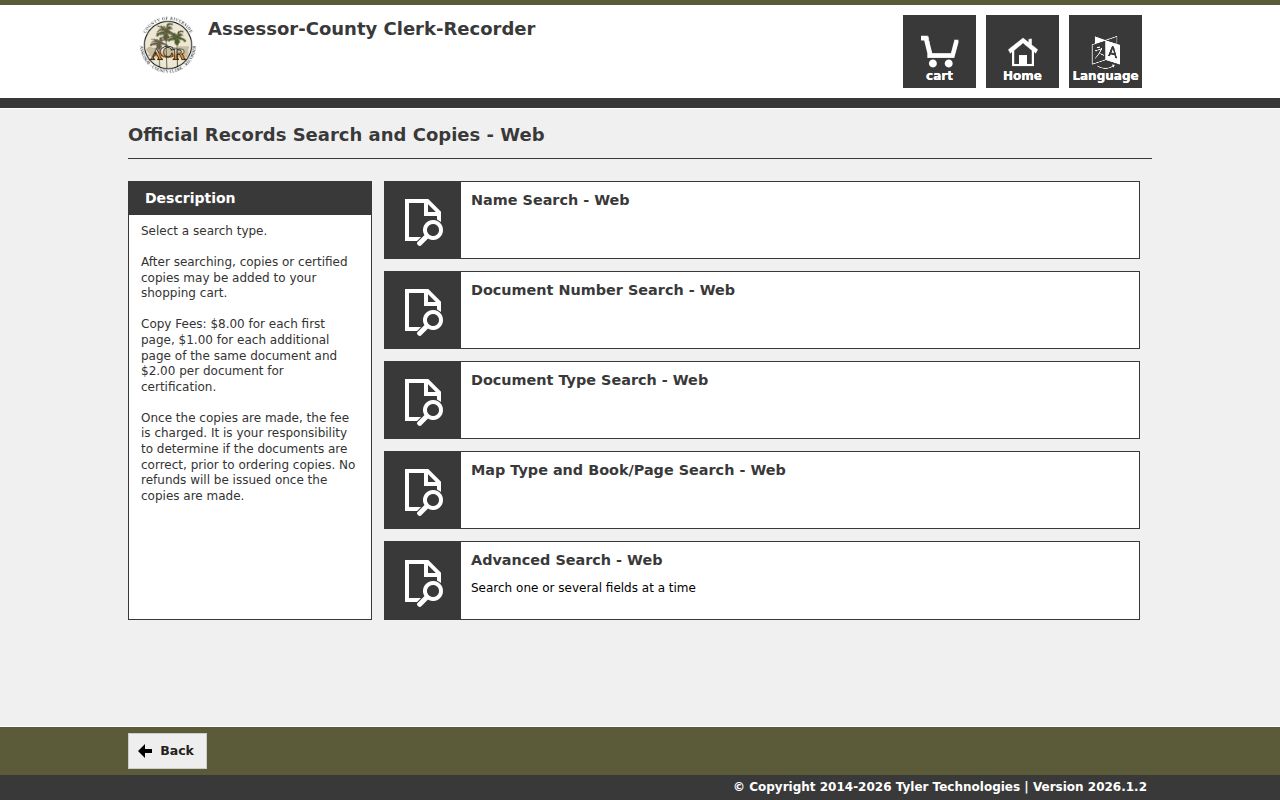
The search-mode image shows why a street directory researcher needs a party pivot. Regular copies cost $8 for the first page plus $1 per added page, and certification adds $2 per document. Online card service adds 2.15 percent and the average stated processing time is 48 hours before mailing.
Cathedral City Permit and Code Records
Cathedral City Building and Safety online services can connect an address to an applicant, contractor, engineer, scope, declared value, issue or final date, inspection, and status. A named applicant is not automatically an owner or occupant. The city's engineering documents include grading, encroachment, pool-drain, lot-line-adjustment, plan-check, and transportation forms. Plans may include owner, developer, or design-professional names, but reproduction can be limited by privacy, security, and copyright rules.
Code Compliance can hold address-keyed cases and notices. Search published material first. If no public case screen exposes the needed record, make a narrow NextRequest request with the address and date range. Complaint identities and active investigatory portions may be withheld. The city layer shows activity at a site, not a complete Cathedral City household directory.
For an older building, pair permit chronology with the parcel APN, deed chain, historical directory entry, newspaper item, or probate record. A construction date can explain when an address became visible in a record series without proving that the applicant lived there.
Cathedral City Street Grid and Numbers
Cathedral City's street-numbering code uses a uniform five-digit grid inherited from Riverside County. The first two digits designate the grid increment, and the last three identify the position within that increment. This structure can expose a transcription error and help place a block, but it does not replace exact assignment by city planning, building, public works, or related addressing partners.
Older references can also use Broadway for Highway 111, or preserve the names of original developers Grove, Allen, Plumley, and Van Fleet. Search both the modern and historical road name, then compare a tract, lot, block, or map reference. A directory from the 1980s may print an address differently from a current assessor record, even when the parcel is the same.
The Cathedral City street-numbering code supplies the local rule:
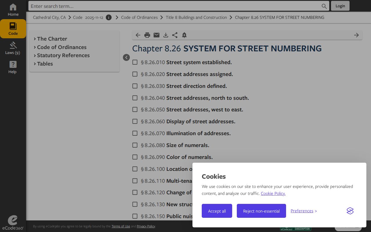
The code image belongs beside address normalization. It explains how a number is structured, not who lives at it.
Cathedral City Historical Street Directory
The most specific verified criss-cross lead for Cathedral City is a Los Angeles County Library Californiana catalog listing GTE “Palm Springs and nearby areas” address directories for March 1988, March 1989, March 1990, and September 1990. Cathedral City is explicitly included. Those editions can give an address-to-listed-subscriber snapshot for a historical street, but they do not prove that Riverside County Library owns the books or that every person, household, or number appears.
Inspect the title page, edition date, coverage boundary, address section, abbreviations, cross-references, and any residence or business marker. Compare March and September 1990 before calling a change a move, because publication timing or correction can explain a difference. Pair a subscriber with a deed, permit, census household, obituary, or newspaper notice before treating the entry as evidence about a person.
The regional GTE directory catalog lead is a research starting point, not an all-years Cathedral City street directory.
North City Annexation and Cathedral City Records
North City's December 2007 annexation is a jurisdiction clue. A permit or code question can belong to Riverside County when an event predates the city's authority, then belong to Cathedral City after the relevant municipal transition. A ZIP label may stay the same while the permit custodian changes. Record the address, event date, jurisdiction date, APN, and the office that held authority at that time.
The same layered approach applies to reservation and allotment land, Baby Homestead patents, pre-incorporation county parcels, and later subdivisions. About 28 percent of Cathedral City lies within Agua Caliente reservation geography, so land status and custodian assumptions deserve a parcel-by-parcel check. The city line, postal label, APN, and deed interest are related facts, not interchangeable fields.
Note: A street directory result is stronger when its road name, parcel, jurisdiction, and event date all line up.
Limits of a Cathedral City Street Directory
Address records do not reveal every person associated with a parcel. Non-owner occupants, minors, informal household members, unlisted subscribers, and protected residents may not appear. DMV residence data is restricted by the federal Driver's Privacy Protection Act. Utility customer and emergency-contact data carry separate privacy and safety limits. My Voter Status cannot browse names at nearby addresses, and an authorized voter-file user must stay within the certified purpose.
Commercial neighborhood compilations can merge names, lag corrections, and omit people. They are leads, not custodial proof. Use the county, city, court, library, or state record that can answer the exact question, and ask that custodian to correct its own record.
Lawful personal use. Cathedral City street and address records support parcel research, family history, civic curiosity, and personal safety awareness. Do not use them to stalk, harass, intimidate, or harm anyone.